For Support? Call Us: +94 773 867 764
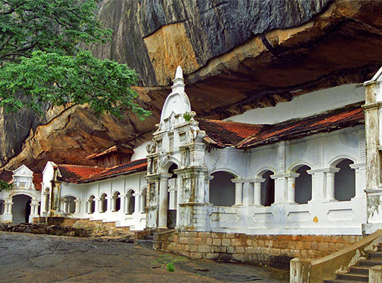
Dambulla
Dambulla is a city, situated in the Matale District, Central Province of Sri Lanka, situated 148 km (92 mi) north-east of Colombo , 43 km (27 mi) north of Matale and 72 km (45 mi) north of Kandy. Due to its location at a major junction, it is the centre of vegetable distribution in the country. Major attractions of the area include the largest and best preserved cave temple complex of Sri Lanka, sigiriya rock fortress located in the division and the Rangiri Dambulla International Stadium, famous for being built in just 167 days. The area also boasts the largest rose quartz mountain range in South Asia, and the Iron wood forest, or Na Uyana Aranya. Ibbankatuwa prehistoric burial site near Dambulla cave temple complexes is the latest archaeological site of significant historical importance found in Dambulla, which is located within 3 km (1.9 mi) of the cave temples providing evidence of the presence of indigenous civilisations long before the arrival of Indian influence on the Island nation.
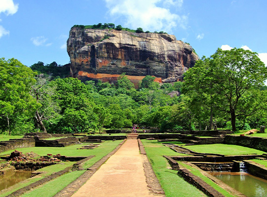
Sigiriya
Sigiriya or Sinhagiri is an ancient rock fortress located in the northern Matale District near the town of Dambulla in the Central Province, Sri Lanka. The name refers to a site of historical and archaeological significance that is dominated by a massive column of rock nearly 200 metres (660 ft) high.[citation needed] According to the ancient Sri Lankan chronicle the Culavamsa, this site was selected by King Kashyapa (477 – 495 AD) for his new capital. He built his palace on the top of this rock and decorated its sides with colourful frescoes. On a small plateau about halfway up the side of this rock he built a gateway in the form of an enormous lion. The name of this place is derived from this structure — Sīnhāgiri, the Lion Rock (an etymology similar to Sinhapura, the Sanskrit name of Singapore, the Lion City). The capital and the royal palace was abandoned after the king's death. It was used as a Buddhist monastery until the 14th century.[1] Sigiriya today is a UNESCO listed World Heritage Site. It is one of the best preserved examples of ancient urban planning.
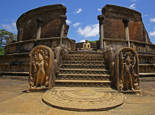
Polonnaruwa
Polonnaruwa is the main town of Polonnaruwa District in North Central Province, Sri Lanka. Kaduruwela area is the Polonnaruwa New Town and the other part of Polonnaruwa remains as the royal ancient city of the Kingdom of Polonnaruwa. The second most ancient of Sri Lanka's kingdoms, Polonnaruwa was first established by the Chola dynasty after their successful invasion of the country's then capital, Anuradhapura, in the 10th century. The Ancient City of Polonnaruwa has been declared a World Heritage Site. Currently the new Polonnaruwa is undergoing a major development project known as the "Awakening of Polonnaruwa" under the concept of President Maithripala Sirisena. It envisions the development of all sectors in Polonnaruwa including roads, electricity, agriculture, education, health and environment will be developed comprehensively.
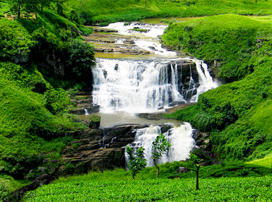
Nuwara Eliya
Nuwara Eliya is a city in the hill country of the Central Province, Sri Lanka. Its name means "city on the plain (table land)" or "city of light". The city is the administrative capital of Nuwara Eliya District, with a picturesque landscape and temperate climate. It is at an altitude of 1,868 m (6,128 ft) and is considered to be the most important location for tea production in Sri Lanka. The city is overlooked by Pidurutalagala, the tallest mountain in Sri Lanka. Nuwara Eliya is known for its temperate, cool climate – the coolest area in Sri Lanka.
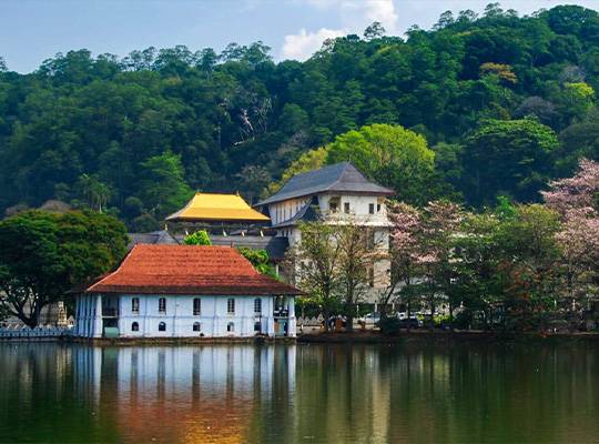
Kandy
Kandy is a major city in Sri Lanka located in the Central Province. It was the last capital of the ancient kings' era of Sri Lanka. The city lies in the midst of hills in the Kandy plateau, which crosses an area of tropical plantations, mainly tea. Kandy is both an administrative and religious city and is also the capital of the Central Province. Kandy is the home of the Temple of the Tooth Relic (Sri Dalada Maligawa), one of the most sacred places of worship in the Buddhist world. It was declared a world heritage site by UNESCO in 1988.
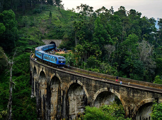
Ella
Ella is a small town in the Badulla District of Uva Province, Sri Lanka governed by an Urban Council. It is approximately 200 kilometres (120 mi) east of Colombo and is situated at an elevation of 1,041 metres (3,415 ft) above sea level. The area has a rich bio-diversity, dense with numerous varieties of flora and fauna. Ella is surrounded by hills covered with cloud forests and tea plantations. The town has a cooler climate than surrounding lowlands, due to its elevation. The Ella Gap allows views across the southern plains of Sri Lanka.
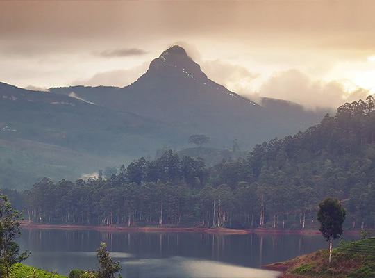
Hatton
Hatton is a city in the Nuwara Eliya District of Central Province, Sri Lanka governed by the Hatton-Dickoya Urban Council. Hatton is a major centre of the Sri Lankan tea industry. Hatton is one of the busiest cities in the hill country of Sri Lanka and is colloquially known as the tea capital of the country, as it is the central point for most upcountry tea growing regions, such as Maskeliya, Talawakelle, Bogawantalawa and Dickoya. It is located approximately 83 km (52 mi) southeast of Colombo and 44 km (27 mi) south of Kandy, at an elevation of 1,271 m (4,170 ft) above sea level. Hatton was founded during the British colonial times in order to serve the coffee plantations and latter tea estates. The name of the town refers to the village in Aberdeenshire, Scotland. A number of the surrounding tea estates are also named after Scottish villages. Hatton serves as a gateway to Adam's Peak (Sri Pada) and Sinharaja Forest Reserve, but is better known for its Ceylon tea plantations and Stassen group tea.
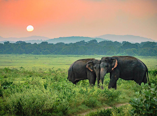
Udawalawe
Udawalawe is a small town located in the southern part of the Ratnapura District in Sri Lanka. It is situated in close to the district's boundary with the Hambantota District and Monaragala District. The town is the main entry point into the Udawalawe National Park which is a major National Park in Sri Lanka which is renowned for its high population of wild Asian elephants. The Udawalawe National Park located approximately 160 km (99 mi) away from Colombo, is the closest national park to Colombo. The town is also notable, because of the Uda Walawa Reservoir, which was created in 1969, following the construction of a 3.9 km (2.4 mi) dam and a 6MW hydro-electric plant on the Walawe river. The reservoir is the 3rd largest reservoir in Sri Lanka.
Yala
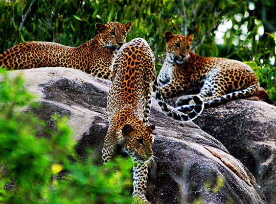
Yala National Park is the most visited and second largest national park in Sri Lanka, bordering the Indian Ocean. The park consists of five blocks, two of which are now open to the public, and also adjoining parks. The blocks have individual names such as, Ruhuna National Park (Block 1), and Kumana National Park or 'Yala East' for the adjoining area. It is situated in the southeast region of the country, and lies in Southern Province and Uva Province. The park covers 979 square kilometres (378 sq mi) and is located about 300 kilometres (190 mi) from Colombo. Yala was designated as a wildlife sanctuary in 1900, and, along with Wilpattu was one of the first two national parks in Sri Lanka, having been designated in 1938. The park is best known for its variety of wild animals. It is important for the conservation of Sri Lankan elephants, Sri Lankan leopards and aquatic birds.
Galle
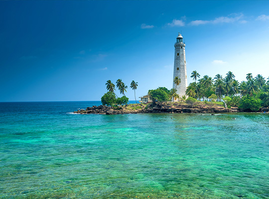
Galle is a major city in Sri Lanka, situated on the southwestern tip, 119 km from Colombo. Galle is the administrative capital of Southern Province, Sri Lanka and is the district capital of Galle District. Galle was known as Gimhathiththa[1](although Ibn Batuta in the 14th century refers to it as Qali[2]) before the arrival of the Portuguese in the 16th century, when it was the main port on the island. Galle reached the height of its development in the 18th century, during the Dutch colonial period. Galle is the best example of a fortified city built by the Portuguese in South and Southeast Asia, showing the interaction between Portuguese architectural styles and native traditions. The city was extensively fortified by the Dutch during the 17th century from 1649 onwards. The Galle fort is a world heritage site and is the largest remaining fortress in Asia built by European occupiers.
Trincomalee
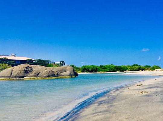
Trincomalee is a port city on the northeast coast of Sri Lanka. Set on a peninsula, Fort Frederick was built by the Portuguese in the 17th century. Within its grounds, the grand Koneswaram Temple stands on Swami Rock cliff, a popular vantage point for blue-whale watching. The holy complex contains ornate shrines and a massive statue of Shiva. Nearby Gokanna Temple has panoramic views over the city and the coastline.
